Parts of southern Ontario could see an ice storm this weekend
A special weather statement issued by Environment Canada warns of a potential ice storm after temperatures as warm as 16 C on Thursday

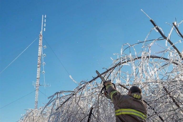
Members of the Baie Sainte Anne Fire Department clear a road so technicians can get to the emergency radio repeater tower to charge the batteries in Escuminac, N.B. on Sunday, Jan. 29, 2017. There are still about eight thousand customers awaiting the return of electricity in northern New Brunswick today, more than a week after the ice storm that wreaked havoc in the province.THE CANADIAN PRESS/Diane Doiron
Share
Talk about a weather roller-coaster.
Spring weather — with pleasant temperatures of 16 C — will hit the GTA on Thursday, but that will come to an abrupt and icy halt this weekend.
A special weather statement issued by Environment Canada warns of a potential ice storm for parts of southern Ontario on Saturday and Sunday.
680 NEWS meteorologist Farah Dhalla-Singh said Toronto will see some freezing rain this weekend but areas north of the city will get it worse.
“There is a high likelihood Toronto will see some freezing rain this weekend. More significant ice accumulation is expected north of the 401 corridor,” she explained.
“However, Toronto is also expected to at least experience a couple hours of freezing rain for the morning hours, both Saturday and Sunday before switching to just rain into the afternoon.”
The agency said the wet weather may start as rain on Saturday, but an increasing northeasterly winds will draw colder air from the Arctic high pressure system to the north, resulting in a changeover to freezing rain.
In some regions ice accumulations in excess of 20 millimetres is possible with gusty winds to 60 km/h.
“Environment Canada is calling it an ice storm referring to significant ice accumulation due to freezing rain,” Dhalla-Singh explained.
“It’s safe to say areas north of the 401 corridor are at greater risk for seeing ice accumulate on power lines, cars and trees.”
But Dhalla-Singh said it might not be time to batten down the hatches just yet.
“Saturday is still three days away so models can change, but the potential is there and it’s better to be prepared than to be caught off guard.”