maps
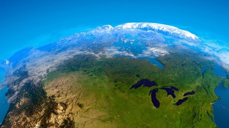
A quirky look at Canada through maps
We’re posting a new map every month that tells you something you didn’t know about our vast country
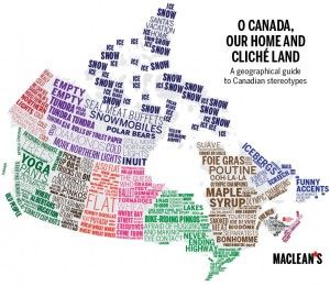
22 maps of Canada as you’ve never seen it before
Presenting a whole new way of looking at Canada and its people

Mapped: The skinny on fat in Canada
The percentage of the population with a body mass index of 30 or higher
Mapped: Visualizing population density
The smallest province is also the densest
Mapped: Where the richest Canadians live
Check out Canada’s playground of the rich

Cartography in the digital age
In the era of GPS, the old-fashioned art of map making asks some bigger questions
South Sudan makes it onto Google maps
For months after independence, the country remained a non-entity on online maps